$5.46
Original: $18.19
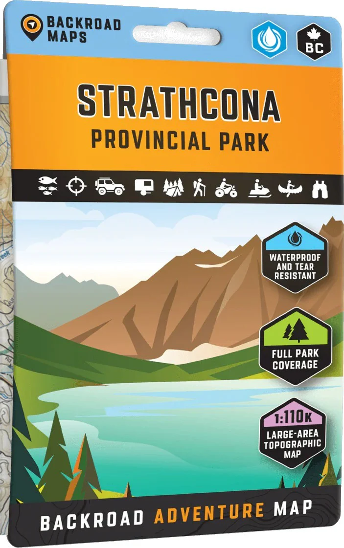
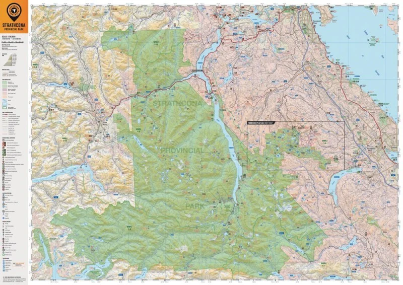
-70%Strathcona Provincial Park Map—
$18.19
$5.46The Story
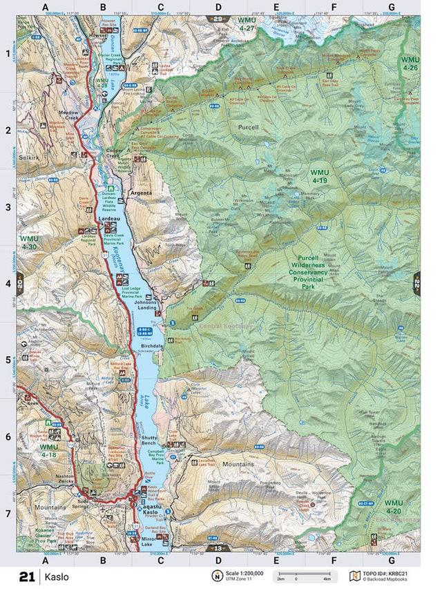
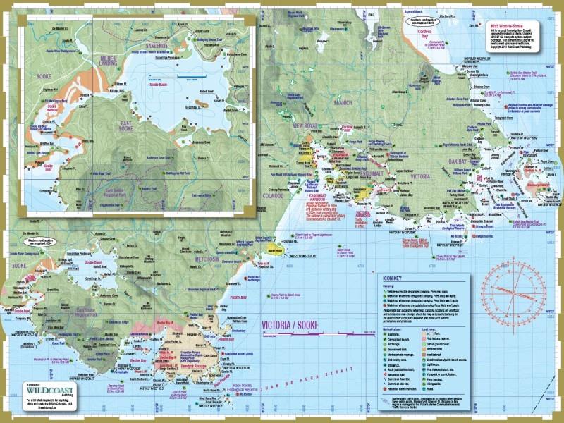
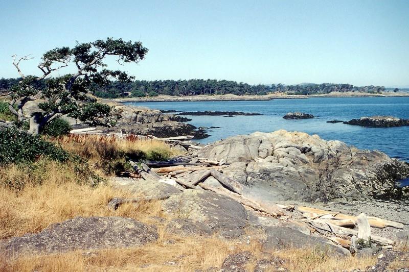
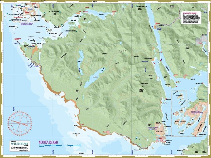
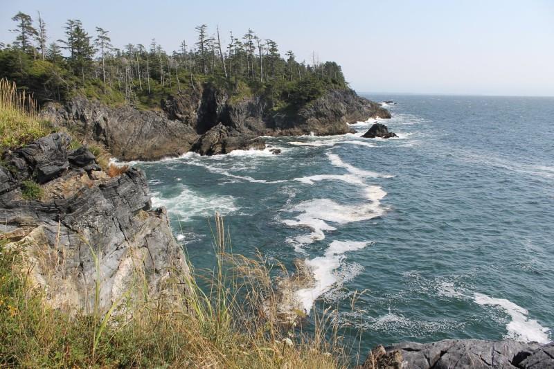
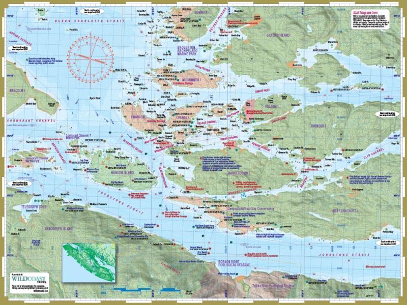
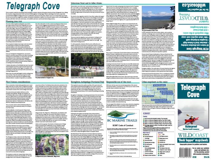
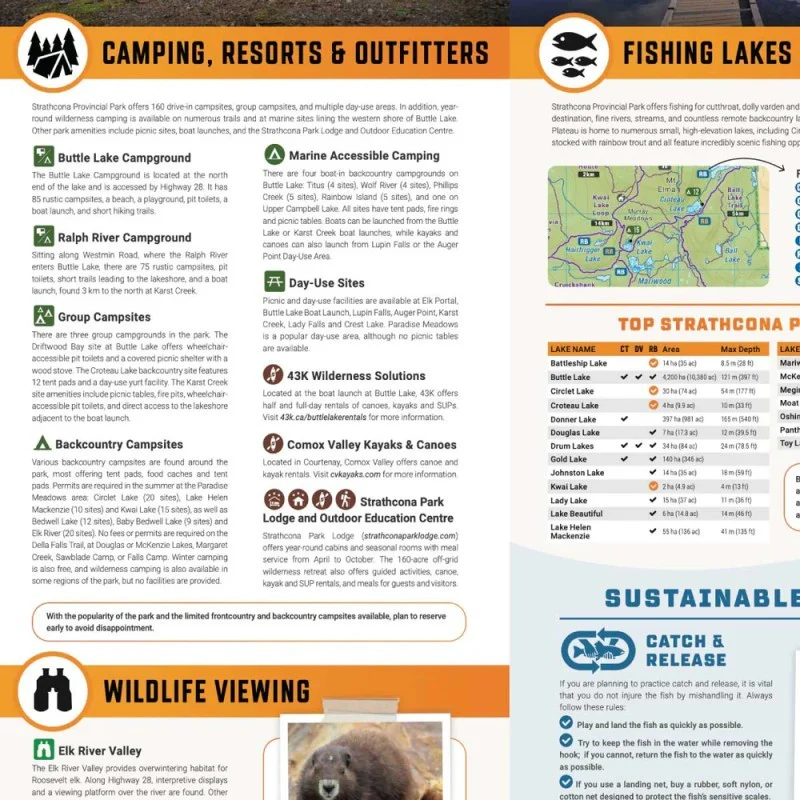
Covering all of Strathcona Provincial Park on Vancouver Island, this British Columbia topographic recreation map highlights all the access roads and trails for hikers, bikers, skiers and backcountry enthusiasts. Showcasing frontcountry and wilderness campsites, huts and cabins, picnic sites, recreation sites, viewpoints, waterfalls, climbing areas and fishing lakes and rivers, there is a lifetime of outdoor adventures to be found here.
This map features our industry-leading topographic contours and relief shading, as well as roads, recreation sites and trails and ATV and snowmobile areas outside the park. Included on the map are Campbell River, Courtenay, Gold River, Bedwell River, Buttle Lake, Comox Glacier, Della Falls, Forbidden Plateau, Mount Washington Ski Area, Myra Falls, Oyster River, Upper Campbell Lake and more! No other map covers all of Strathcona Provincial Park with this level of recreation detail.
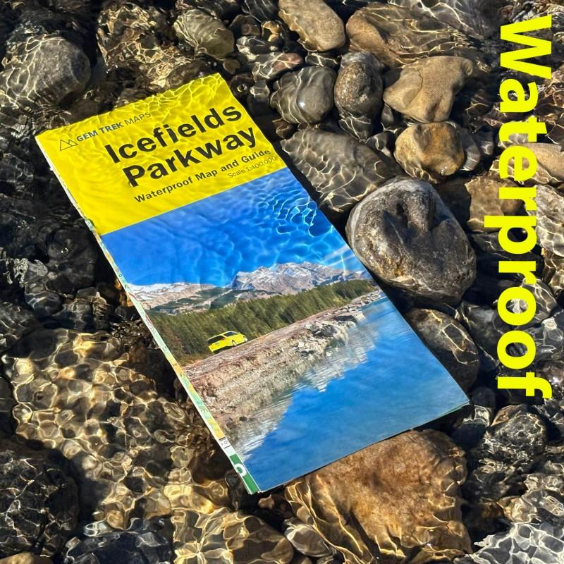
The printed version of the map is displayed at 1:110,000 scale on 5x8.25 inches (folded) / 27.8×39.4 inches (unfolded) paper on a durable waterproof synthetic material.
This map features our industry-leading topographic contours and relief shading, as well as roads, recreation sites and trails and ATV and snowmobile areas outside the park. Included on the map are Campbell River, Courtenay, Gold River, Bedwell River, Buttle Lake, Comox Glacier, Della Falls, Forbidden Plateau, Mount Washington Ski Area, Myra Falls, Oyster River, Upper Campbell Lake and more! No other map covers all of Strathcona Provincial Park with this level of recreation detail.
The printed version of the map is displayed at 1:110,000 scale on 5x8.25 inches (folded) / 27.8×39.4 inches (unfolded) paper on a durable waterproof synthetic material.
Details & Craftsmanship
Every detail has been carefully considered to bring you the perfect product.
Details & Craftsmanship
Every detail has been carefully considered to bring you the perfect product.
Description
Covering all of Strathcona Provincial Park on Vancouver Island, this British Columbia topographic recreation map highlights all the access roads and trails for hikers, bikers, skiers and backcountry enthusiasts. Showcasing frontcountry and wilderness campsites, huts and cabins, picnic sites, recreation sites, viewpoints, waterfalls, climbing areas and fishing lakes and rivers, there is a lifetime of outdoor adventures to be found here.
This map features our industry-leading topographic contours and relief shading, as well as roads, recreation sites and trails and ATV and snowmobile areas outside the park. Included on the map are Campbell River, Courtenay, Gold River, Bedwell River, Buttle Lake, Comox Glacier, Della Falls, Forbidden Plateau, Mount Washington Ski Area, Myra Falls, Oyster River, Upper Campbell Lake and more! No other map covers all of Strathcona Provincial Park with this level of recreation detail.
The printed version of the map is displayed at 1:110,000 scale on 5x8.25 inches (folded) / 27.8×39.4 inches (unfolded) paper on a durable waterproof synthetic material.