$3.27
Original: $10.90
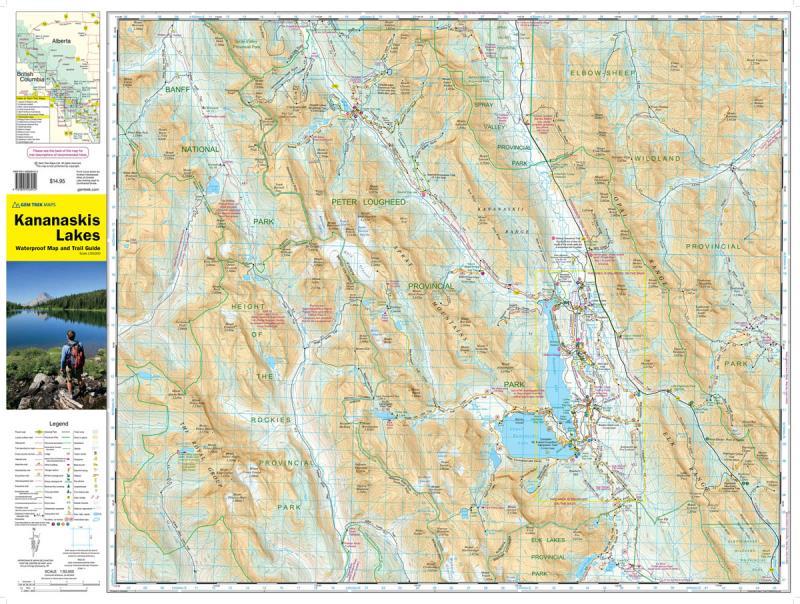
-70%Kananaskis Lakes 8th Edition - Waterproof—
$10.90
$3.27The Story
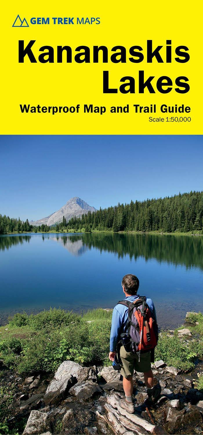
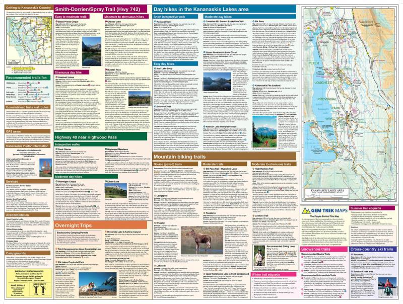
Gem Trek’s KANANASKIS LAKES MAP meets the needs of visitors looking to explore the southern portion of Kananaskis Country. Whether you are touring along the roads or heading into the backcountry, you’ll find the waterproof and tear-resistant Kananaskis Lakes Map to be an invaluable tool.
This map features detailed cartography, accurate hiking trails with distances, and details such as logging roads, campgrounds, equestrian routes, picnic areas, and fire lookouts. On the back are descriptions and photos of 16 recommended day hikes, three overnight trips, and nine classic mountain bike rides, as well as six recommended trails for novice and intermediate snowshoers and two areas recommended for cross-country skiing.
This map features detailed cartography, accurate hiking trails with distances, and details such as logging roads, campgrounds, equestrian routes, picnic areas, and fire lookouts. On the back are descriptions and photos of 16 recommended day hikes, three overnight trips, and nine classic mountain bike rides, as well as six recommended trails for novice and intermediate snowshoers and two areas recommended for cross-country skiing.
Details & Craftsmanship
Every detail has been carefully considered to bring you the perfect product.
Details & Craftsmanship
Every detail has been carefully considered to bring you the perfect product.
Description
Gem Trek’s KANANASKIS LAKES MAP meets the needs of visitors looking to explore the southern portion of Kananaskis Country. Whether you are touring along the roads or heading into the backcountry, you’ll find the waterproof and tear-resistant Kananaskis Lakes Map to be an invaluable tool.
This map features detailed cartography, accurate hiking trails with distances, and details such as logging roads, campgrounds, equestrian routes, picnic areas, and fire lookouts. On the back are descriptions and photos of 16 recommended day hikes, three overnight trips, and nine classic mountain bike rides, as well as six recommended trails for novice and intermediate snowshoers and two areas recommended for cross-country skiing.
This map features detailed cartography, accurate hiking trails with distances, and details such as logging roads, campgrounds, equestrian routes, picnic areas, and fire lookouts. On the back are descriptions and photos of 16 recommended day hikes, three overnight trips, and nine classic mountain bike rides, as well as six recommended trails for novice and intermediate snowshoers and two areas recommended for cross-country skiing.